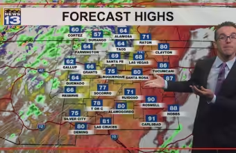
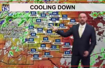
Cooler temperatures and breezy winds move into New Mexico this week
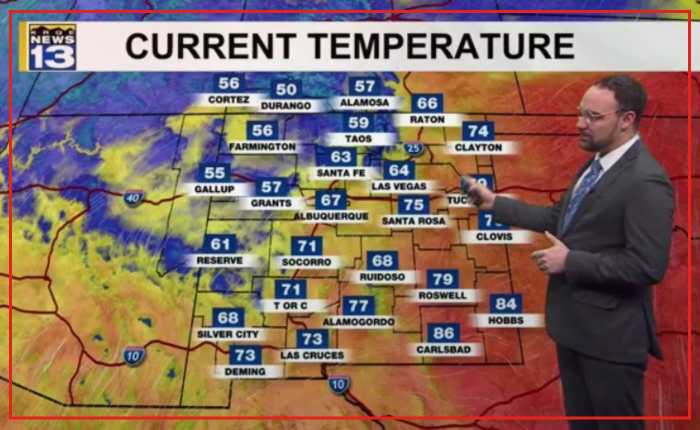
A low pressure system is bringing lower readings to western New Mexico today. The incoming pattern creates a few isolated showers across the northwest corner. Conditions will stay mostly dry for the rest of the region.
Wednesday brings those cooler readings into central parts of the state. Most areas will remain dry through Wednesday afternoon.
A backdoor cold front enters eastern New Mexico early Thursday morning. The front moves into central sections by Thursday afternoon. Statewide readings will drop to seasonable or slightly below seasonable levels.
Winds will pick up across the area on Friday. Rain chances also return to the state late Friday. Storms are possible late Friday evening.
Backdoor cold fronts push in from the north or east rather than the west. These fronts bring sudden air mass changes.
Most rain chances on Friday will focus across southeastern New Mexico. A few spotty showers remain possible in central areas.