Drier and gusty weather with midweek cold front across New Mexico
Conditions across New Mexico turned calmer following spotty morning rain. Sunnier skies and rising wind speeds will spread statewide before a shifting front arrives midweek. Morning readings stayed mild despite cooler air in several towns.
Westerly gusts stayed largely within higher elevations and eastern plains. Northern communities began the day between the upper 30s and near 60 degrees. Southern regions saw early temperatures from the 40s to the 60s.
Dry conditions will dominate most areas under bright sunshine. Spotty precipitation remains possible in northwest mountains and far southeast zones. Fast-moving showers will bring high-elevation snow to the San Juan Mountains alongside weak thunderstorms.
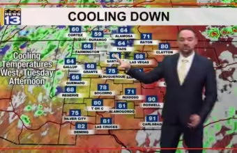
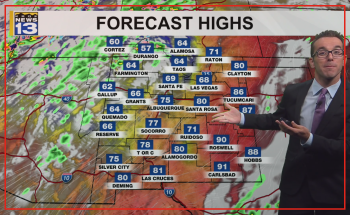
High temperatures in eastern New Mexico will reach the high 60s to low 90s. The Pecos River Valley will share that warm range. Northern higher elevations will stay in the 40s and 50s.
Northern valley floors, western areas, and central territory will range from the upper 50s to near 80 degrees. Western sections will see cooler-than-average numbers. Readings near average will cover regions in between, including the Rio Grande Valley.
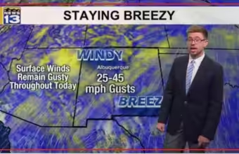
Winds will gust between 20 mph and nearly 45 mph across the state. These speeds could produce patchy blowing dust. Gusty conditions will then transition to backdoor frontal winds by midweek.
A backdoor front is a cold boundary that moves southwestward from the northern plains. These fronts often generate sudden temperature drops and sharp wind shifts. They alter typical regional airflow patterns.
The front will sweep through eastern New Mexico and down the Rio Grande Valley. Isolated moisture will linger into the late workweek. Northern parts of the state could encounter their first seasonal freeze.