Monsoon storms bring cooler air across New Mexico
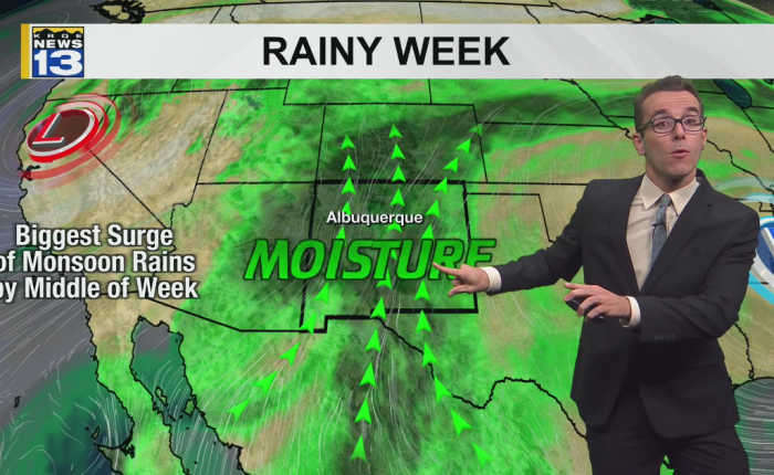
Monsoon storms and cooler conditions have moved into parts of New Mexico, bringing showers to mountain areas and nearby communities with mild air, higher humidity and occasional wind gusts. Forecasters expect high temperatures to run near seasonal averages across most of the state as rounds of storms continue into the week.
Most areas started the day at least slightly milder than average. Northern New Mexico ranged from the upper 40s to the lower 60s, while areas to the south saw temperatures mostly from the high 50s to the low 70s.
Afternoon highs are expected to span several degrees on either side of average. From eastern New Mexico to the Pecos River Valley, readings will range from the 70s to near 100° from north-northwest to south-southeast, going from high to low elevation. Northern higher elevations will mostly range from the 50s to the low 60s, while northern valley floors and western and central areas will mostly range from the 70s to the low 90s.
Scattered to widespread thunderstorms are expected to form across a vast majority of the mountains through western to northern communities, parts of the Rio Grande Valley through the East Plains, and parts of southern New Mexico through the Pecos River Valley. The storms are capable of heavier downpours, some hail, very erratic wind gusts, and frequent lightning strikes.
More rain with cooler air is expected to continue into the week as high pressure east of the region combines with an upper-level disturbance to the northwest, supplying the lift with Pacific fuel for rounds of storms ahead.